Must see! Navigate 100 years of aerial photography with this interactive map
This online aerial photography map from Historic England enables you to explore 100 years of airborne photography

The best camera deals, reviews, product advice, and unmissable photography news, direct to your inbox!
You are now subscribed
Your newsletter sign-up was successful
Ever tried to find your mate's house on Google Maps? Or been captured at the wrong moment by the Street View car as it drives past? This new interactive and searchable tool from Historic England will enable you see areas of England captured with aerial photography over the past 100 years. Try to spot your grandparents!
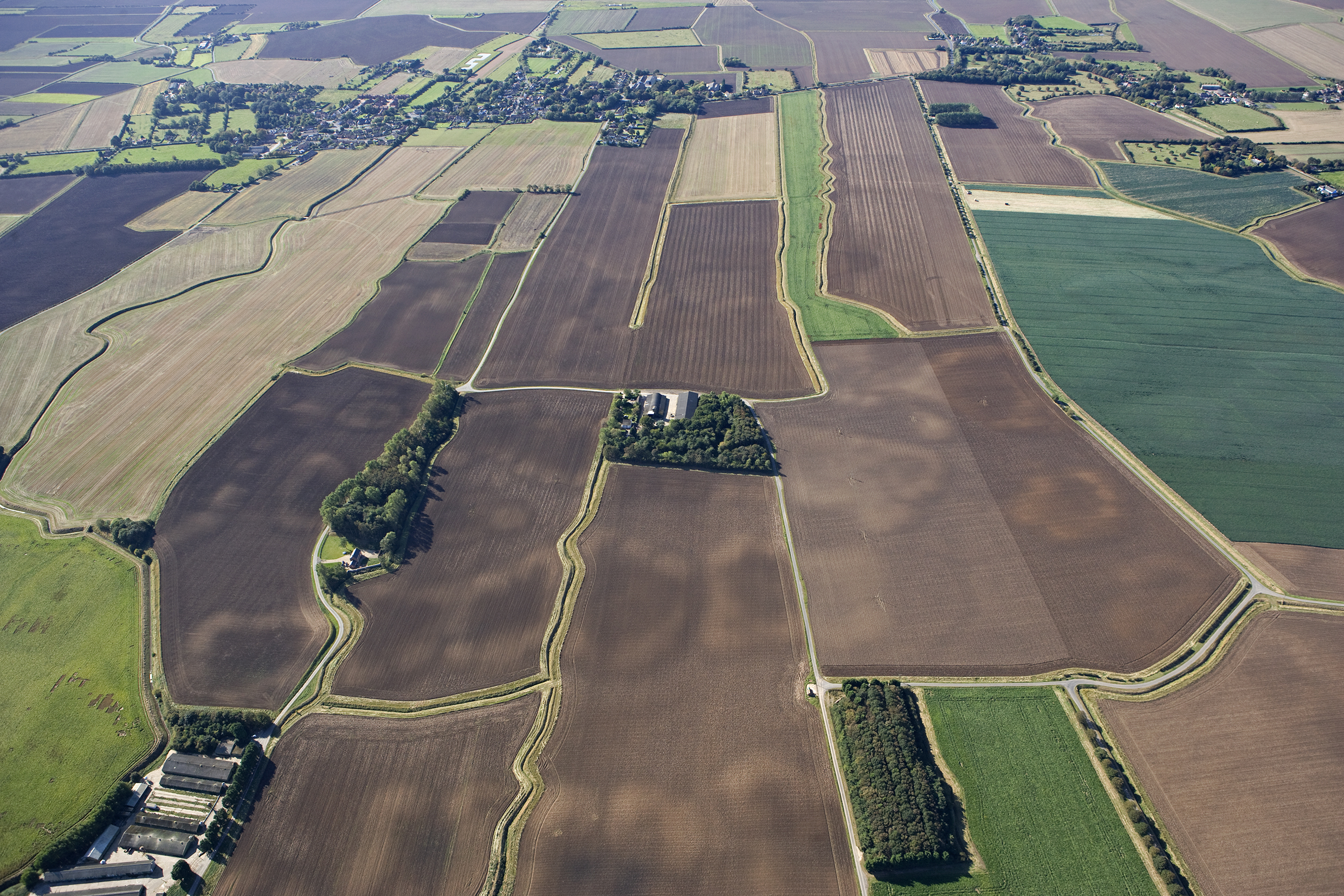
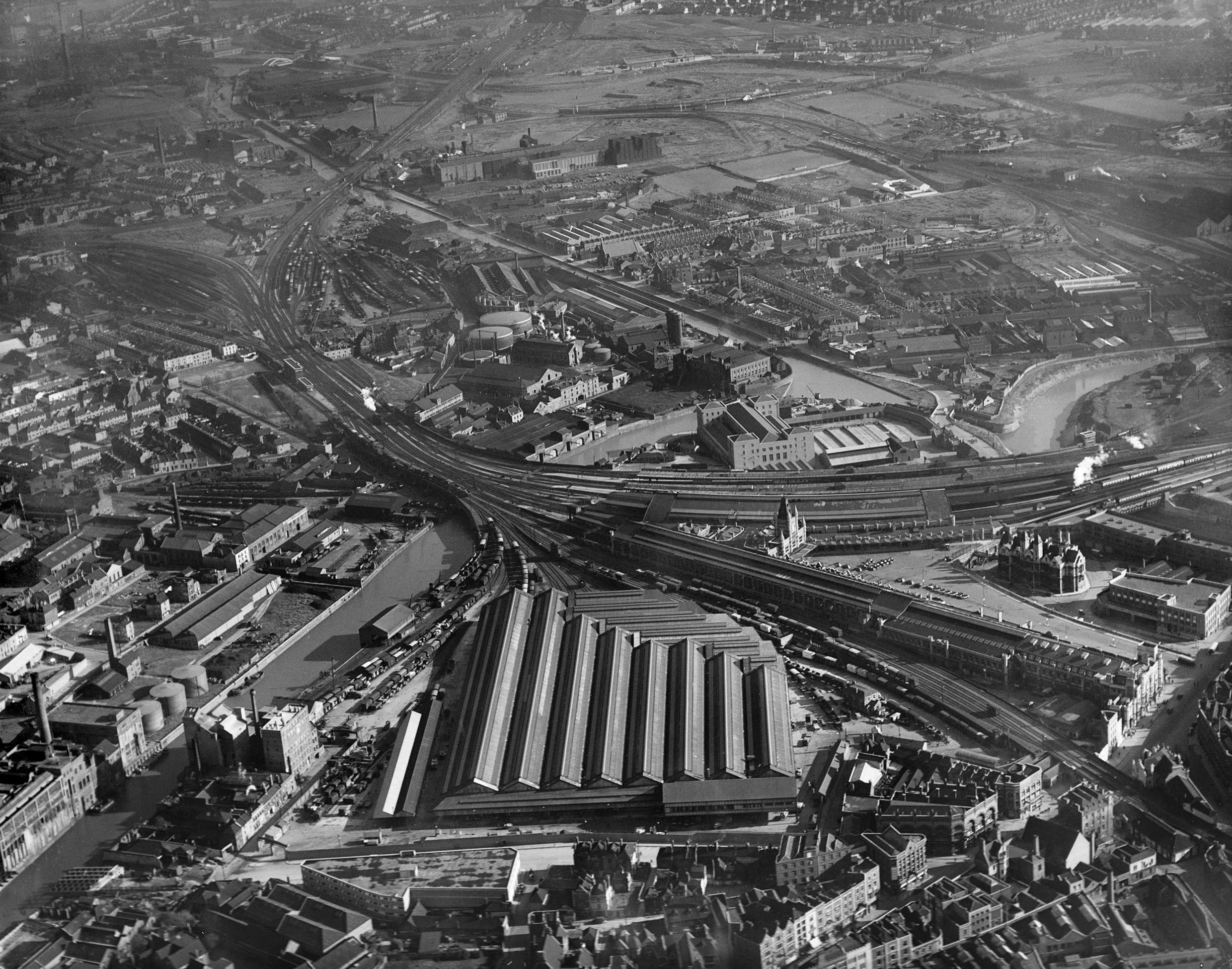
Changes to rural landscapes and the expansion of urban architecture are only a few elements that make aerial photographs so interesting. Searching for crop circles and hidden archaeology has never been so fun.
• Read more: Best camera drones
Historic England is an executive public body that helps others to enjoy, maintain and celebrate England's historic environments. This non-departmental body of the British Government uses its funds to award grants, support change, protect heritage, and in this case build online aerial photographic maps.
Launching its new Aerial Photography Explorer, Historic England has created a tool that for the first time will enable users to search and explore areas in England through an online interactive map, comprising aerial photographs collected over the past 100 years. A fascinating insight into the country's development, the aerial explorer can also reveal striking discoveries.
Over 400,000 images from 1919 to the present day have been added to the online tool, giving users immediate access to a nationally important collection of aerial photographs that covers nearly 30% (c.15,000 square miles) of the country.
Historic England's Aerial Investigation and Mapping team was established in 1967 to discover new archaeological sites, create archaeological maps and monitor the condition of historic sites across the country by taking photographs of the nation from the air. Around 300,000 of the 400,000 images used have derived from work by this team.
The best camera deals, reviews, product advice, and unmissable photography news, direct to your inbox!
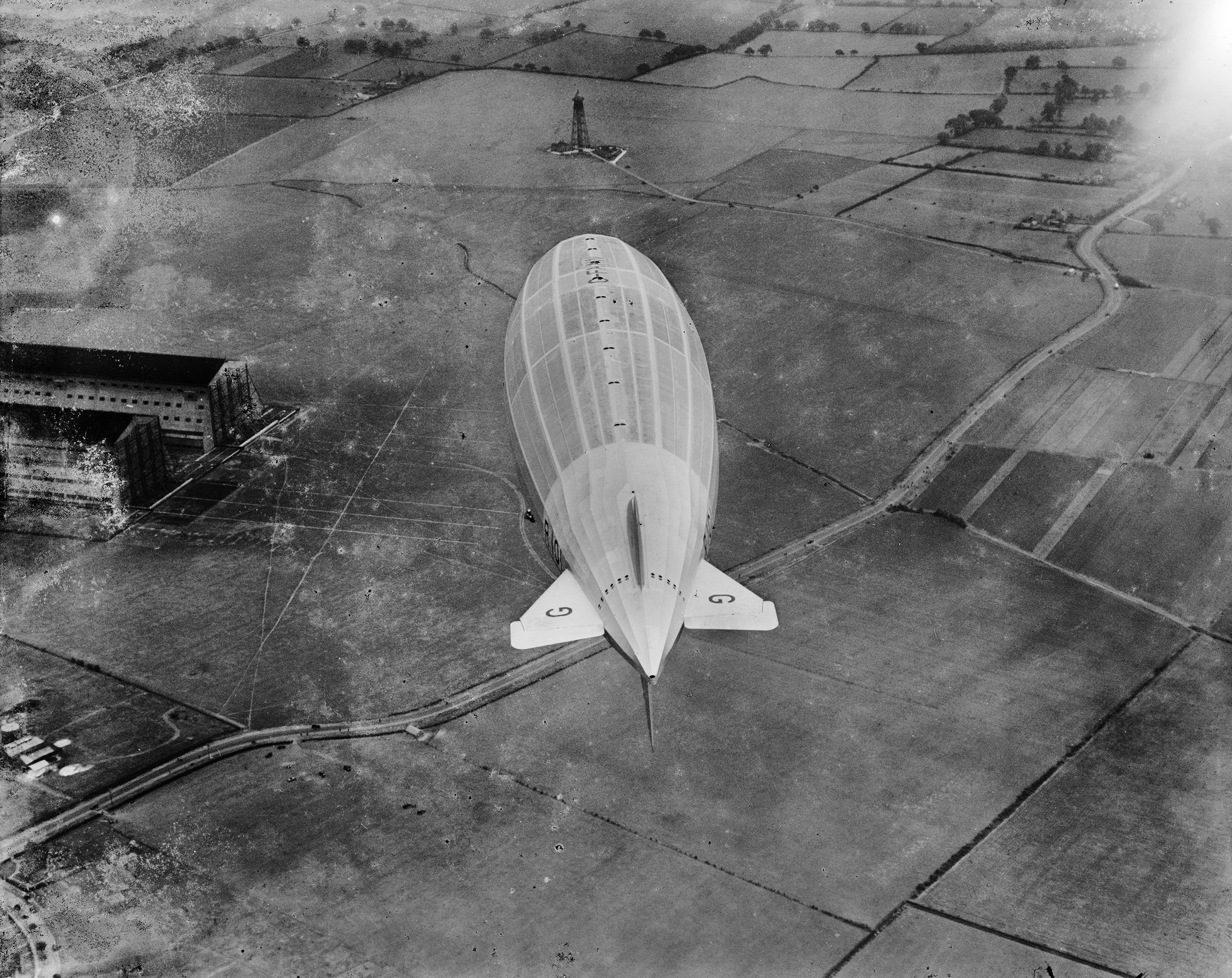
The remainder of images have been provided by the Historic England Archive of Aerial Photographs collection, with a total of over six million images, including those of historical importance such as interwar and post-war images from Aerofilms Ltd and The Royal Air Force.
By allowing this tool to be accessible by the public, Historic England hopes that users will wield it to make discoveries about their local areas. It will also in turn provide industry professionals and local authorities with a useful resource to help planning, heritage projects and archaeological investigation.
"I am delighted that our new online tool will allow people to access easily our wonderful collection of aerial images and enjoy the historic photography that our team uses every day to unlock the mysteries of England’s past," said Duncan Wilson, Historic England's chief executive.
"What better way to discover our shared history than through this fascinating new online tool which offers a bird's eye view of our past," adds MP Nigel Huddleston, Minister for Heritage. "I can't wait to discover more about my local area and encourage everyone to explore the thousands of English sites from the last century."
Over the next few years, Historic England plans to expand The Aerial Photography Explorer platform, as more of the six million aerial images in the Historic England Archive become digitized.
For more information about Historic England's latest research, check out its website to discover the most important historic places in England.
Read more:
Best drones for beginners
Best DJI drones
LIVE report: Watch the new DJI drone launch right here!
Best drone landing pad

Beth kicked off her journalistic career as a staff writer here at Digital Camera World, but has since moved over to our sister site Creative Bloq, where she covers all things tech, gaming, photography, and 3D printing. With a degree in Music Journalism and a Master's degree in Photography, Beth knows a thing or two about cameras – and you'll most likely find her photographing local gigs under the alias Bethshootsbands. She also dabbles in cosplay photography, bringing comic book fantasies to life, and uses a Canon 5DS and Sony A7III as her go-to setup.


