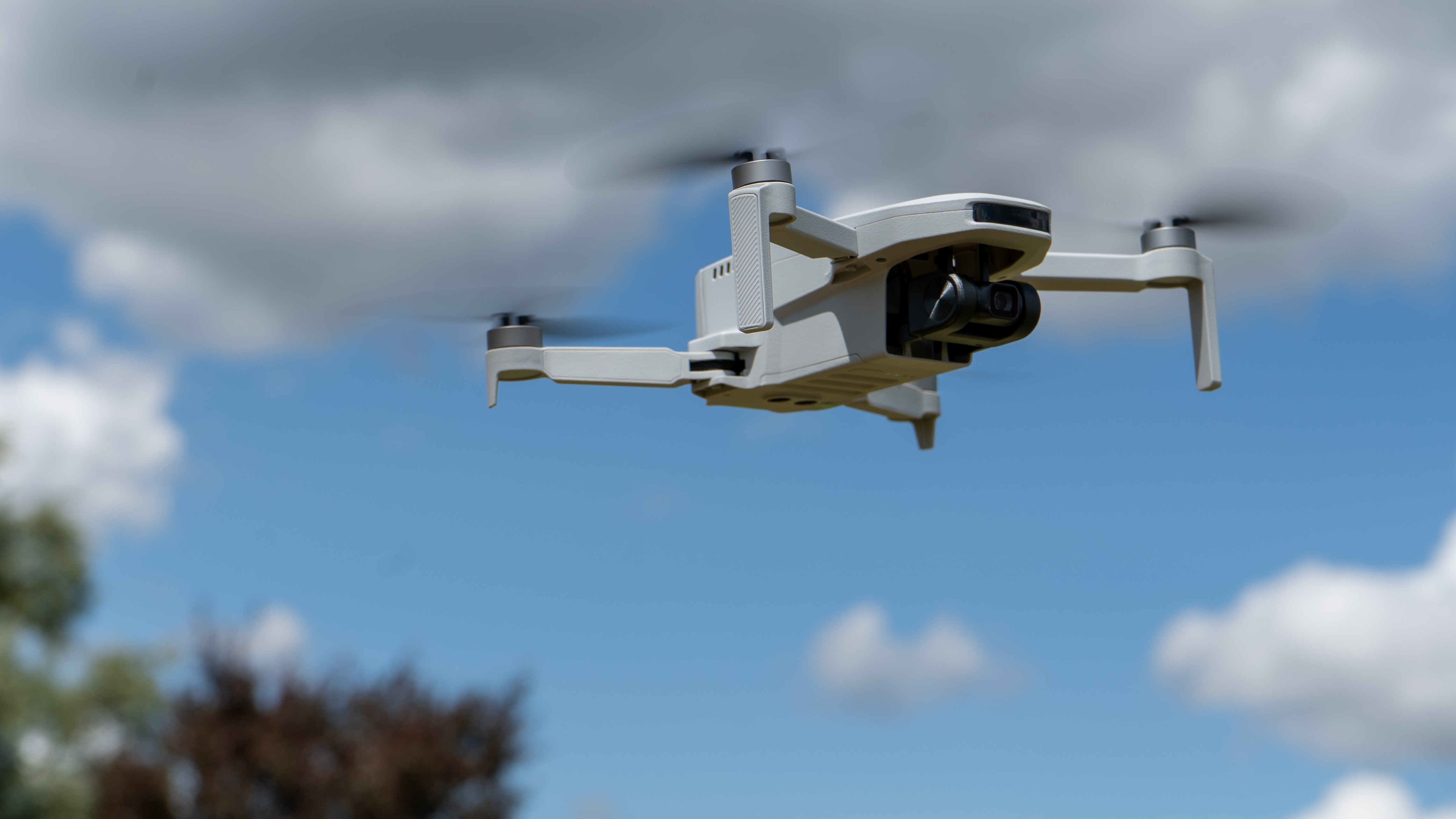
New neuromorphic camera technology could enable drones navigate in areas where GPS fails
Researchers are testing new hybrid imaging and inertial-guidance tech which might eliminate the need for restrictive GPS navigation in low-cost drones

The satellite-based Global Positioning System (GPS) is the basis of most modern geo-positioning systems. However, it is limited by certain factors.
To combat this, two companies are now joining forces to create a GPS-free navigation system for drones, using neuromorphic sensing technology, or an event camera fused with an inertial navigation system (INS).
NILEQ, a subsidiary of the British missile maker MBDA based in Bristol, UK, makes a low-power visual navigation system that relies on neuromorphic cameras. They have teamed up with Advanced Navigation, a company in Sydney, Australia, who will combine their fiber optic-based INS technology with the neuromorphic cameras to create a positioning system that allows low-cost drones to navigate without relying on GPS.
Advanced Navigation will also provide its AI-powered sensor fusion software to join the outputs of the double technologies to create a single, reliable location reading that serves as the drone's navigation system, much like GPS.
“A lot of customers in this space want something they can just basically plug in and there’s no big learning curve,” says Advanced Navigation’s CEO Chris Shaw, “They don’t want any of the details.”
GPS works by using receiver systems that communicate wirelessly with a network of four or more unobstructed satellites to triangulate the user’s location with great accuracy. Limitations occur when the signals do not have a straight line of sight to the receiver, possibly due to dense foliage, extreme weather, large buildings, or deliberate jamming using fake radio signals.
Both visual and INS have their limitations. INS’s are expensive, and use sensors to track a vehicle’s location from a known starting point, however, small measurement errors can occur and amass over time, causing a drift in positioning accuracy. Similarly, visual navigation systems use cameras to surveil the ground below an aircraft to locate its position, but this takes considerable data resources that make it unsuitable for smaller, less expensive drones.
The best camera deals, reviews, product advice, and unmissable photography news, direct to your inbox!
“The two things together really neatly solve navigating in a challenging, GPS-denied environment. You can travel really long distances over a really long time,” says Shaw.
The neuromorphic cameras reduce the resources needed for visual navigation. Inspired by the way the human retina works, these cameras don’t take multiple images, but track changes in brightness across individual pixels in the sensors, using far less data and at much higher speeds.
NILEQ says its algorithms process the camera output in real time to create the map of the terrain fingerprint for the particular area of land the drone is flying over, which is then compared against a database of terrain fingerprints generated from satellite images stored on itself. Creating the fingerprints compresses the data, “this means that the size of the database loaded onto the host platform is trivial and searching it in real time requires minimal computation,” says Phil Houghton, head of future concepting at MBDA.
Some limitations include the current inability to operate using infrared, so no night flying, however, infrared neuromorphic cameras should be available in the next few years.
Neuromorphic cameras are also more expensive than standard ones, often in the region of $1,000, says Shaw, but this is balanced out by the much cheaper INS.
“Some really high-end navigation systems might run into the hundreds of thousands of dollars. This approach of using the neuromorphic camera alongside low-cost, inexpensive inertial sensors, there’s a big cost and size benefit.”
The companies will be testing flight trials now, with the goal of getting the product to the customer in the middle of 2025.
Take a look at our guides to the best cheap drones, the best camera drones, and the best drones for kids.
Why not also check out the best Black Friday drone deals and the Black Friday GoPro deals.

After graduating from Cardiff University with an Master's Degree in Journalism, Media and Communications Leonie developed a love of photography after taking a year out to travel around the world.
While visiting countries such as Mongolia, Kazakhstan, Bangladesh and Ukraine with her trusty Nikon, Leonie learned how to capture the beauty of these inspiring places, and her photography has accompanied her various freelance travel features.
As well as travel photography Leonie also has a passion for wildlife photography both in the UK and abroad.

